
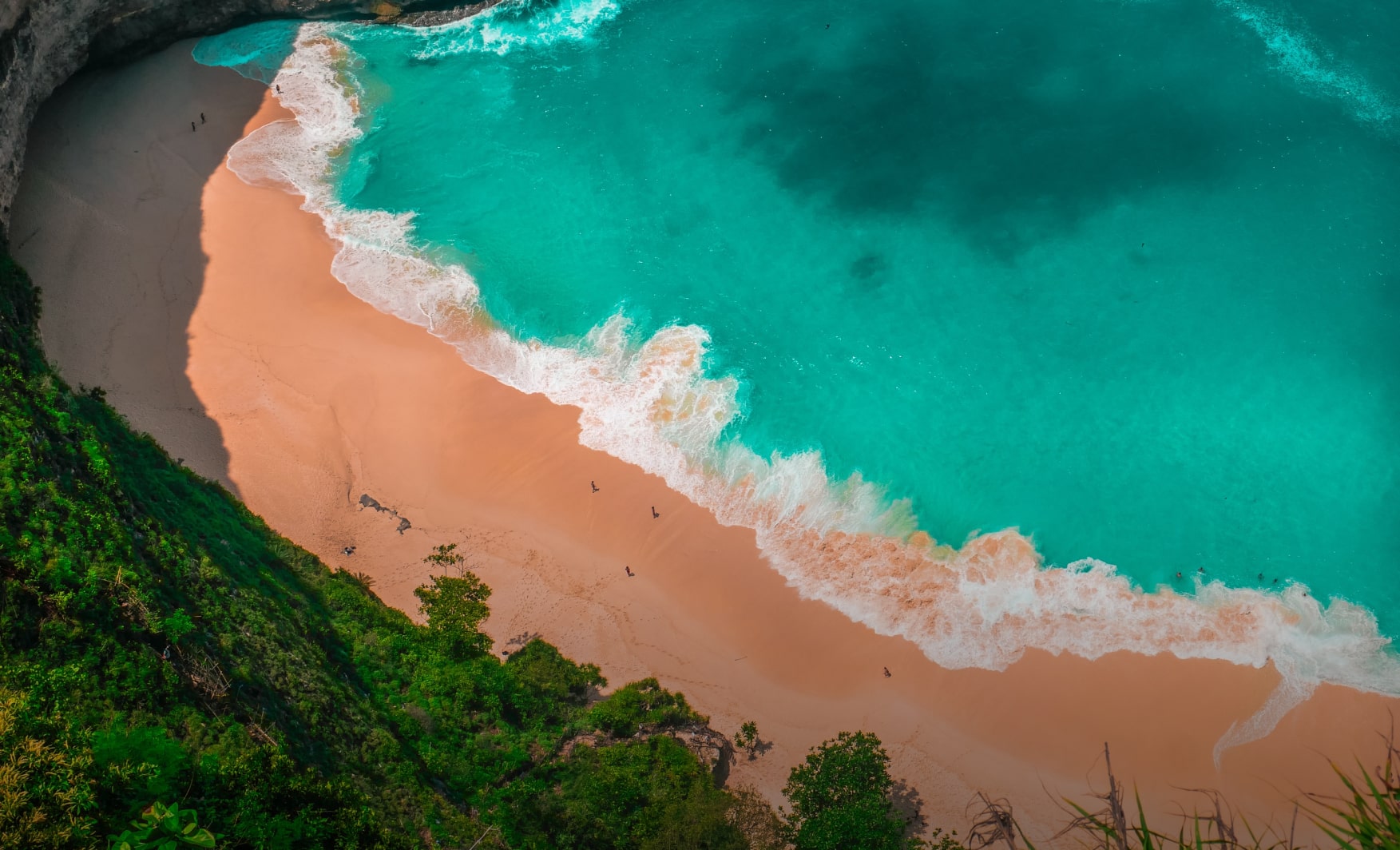


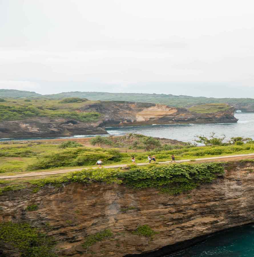
Nusa Penida Island is in the southeastern part of the mainland island of Bali. Geographically, with an area of 192.72 km2 is located at 115o26’47.6” E – 115o37’41.8” E and 8o40’18.9” South Latitude – 8 o49’10.8” South Latitude, with jurisdictional markers Basic Point No. TD 133 and Reference Point No. TR 133. Limits? The boundaries of Nusa Penida Island are: the Badung Strait to the north, Nusa Ceningan to the west, the Lombok Strait to the east, and the Indian Ocean to the south.
Moreover, going to Nusa Penida is now even easier because there are more and more tour packages to Nusa Penida and fast boat services to this island. It’s no wonder that Nusa Penida Island is increasingly being recognized by domestic and foreign tourists. Not inferior to its two neighboring islands, Nusa Ceningan and Nusa Lembongan, which were popular first.
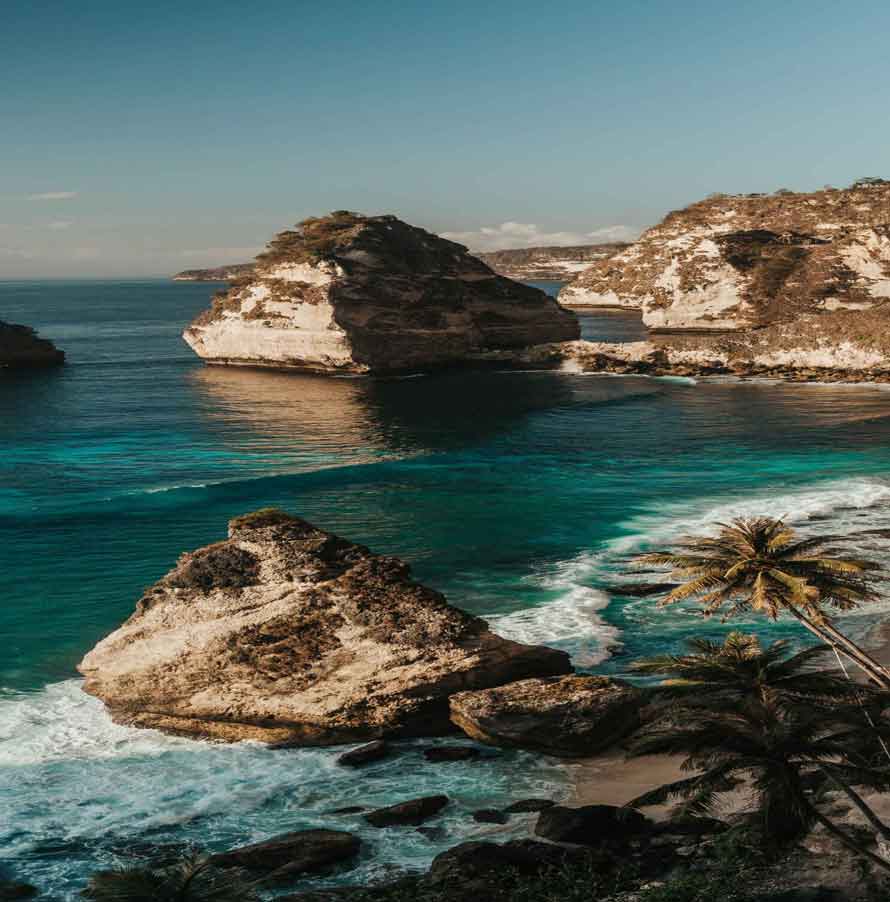
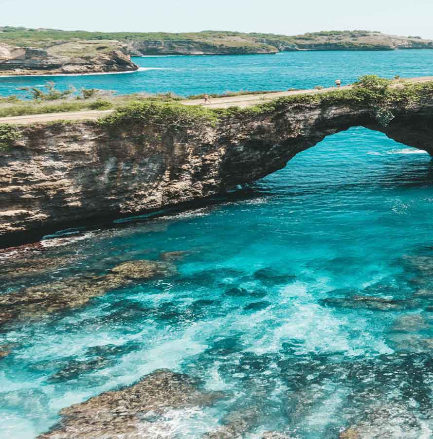
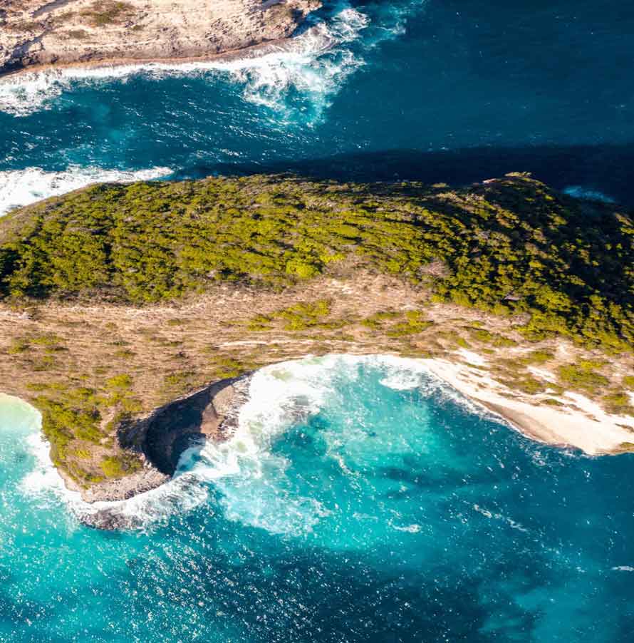
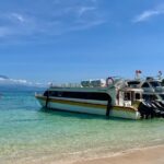
Want to stay in Nusa Penida? Now you can too, because now even ordinary villas or inns are available in Nusa Penida with various prices. Nusa Penida is a small group of islands in the south of Bali, together with Nusa Ceningan and Nusa Lembongan. The only way to Nusa Penida is by using a fast boat from Bali.
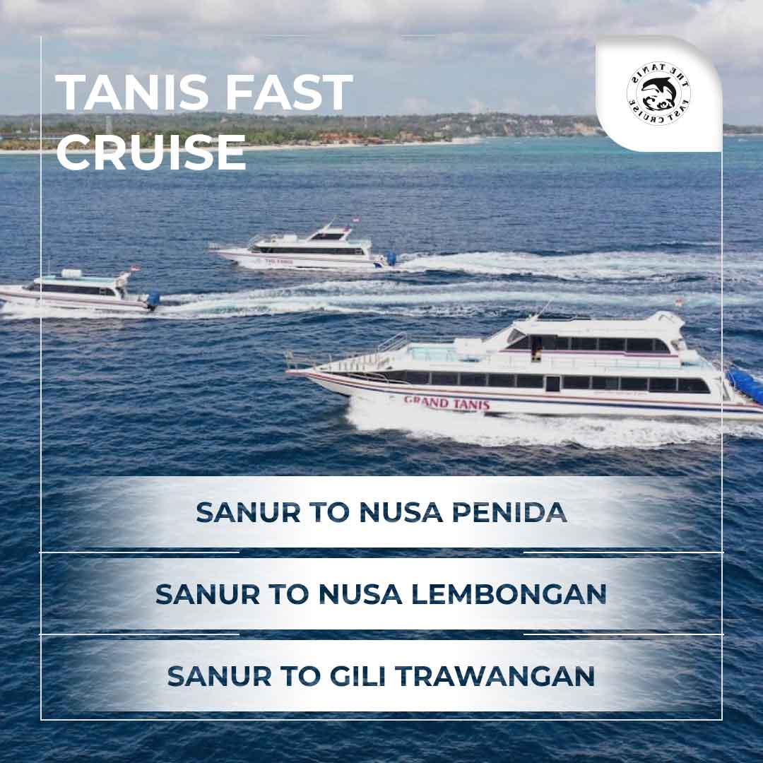
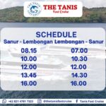
The most common way is by fast boat to Nusa Penida from Sanur Beach, because in this area there are lots of choices of fast boats from various companies with several departure hours. But Sanur Beach isn’t the only place you can take a fast boat to Nusa Penida.


Check out our social media for daily posts from the Tanis Fast Cruise. Find updates about us and what we’re up to.
Check Out Now

 MENU
MENU